


WW1 Armistice Exhibition - Maps
Frittenden 1908 Ordnance Survey Maps
These maps of areas of Frittenden are the 1908 Ordnance Survey maps, which were produced with a scale of 25 inches to a mile.
Clicking on an image below will give you access to an area of Frittenden with markers showing the locations of the men and women who served in the war with a connection to that area. The maps are interactive and you can zoom in or out and make them full screen.
The orange markers indicate that the person died during the war and the green markers that the person returned from the war.
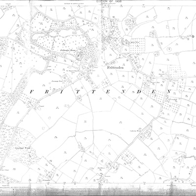
Frittenden Center
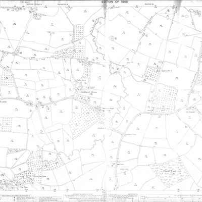
Sinkhurst Green
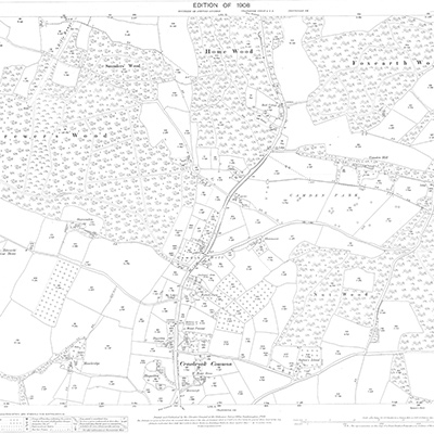
Comenden
- copyright © 2024
- Site by lancefrench.com